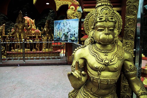
HANUMAN BRIDGE
According to the geologists, Sri Lanka and India were connected through a narrow land and it was popularly known as Palk straight or Hanuman bridge. According to the legend of Ramayana Hanuman and his followers reached the island from India through the Palk straight, which was constructed by them.

Hanuman bridge and Ramayana
Sri Lanka is an essential part of the Ramayana story, which is closely connected to the Hindu religion. Sri Lanka is home to many important historical monuments mentioned in Ramayana, such as Seetha Amman temple, Ashok Vatika, Ravan cave etc. If you like to know about important places of Sri Lanka mentioned in Ramayana please check our article on “Sri Lanka Ramayana“.
The historical evidence of Hanuman bridge
There is evidence to prove the existence of the Palk straight between Sri Lanka and India during the reign of King Gajaba, during the Anuradhapura period (113-135 AD). According to the chronicles, King Gajaba and his forces invaded India and rescued the Sinhalese soldiers, imprisoned by Indian rulers. Not only he rescued the Sinhalese soldier but also he took 12000 Indian soldiers as war prisoners.
Ancient silk route
Mannar was the last port on the ancient sea route of Silk route that was connecting the Red Sea and East Africa, India, China, and Southeast Asian countries. This historical port was known as Mahatitta and located near Mannar. Therefore Mannar had been an important port of call among the ancient traders and an important source of income for the country.
The oceanic region around Sri Lanka spreads about 20 kilometres from the borders of the island. It is very wide in the areas of Mannar and Kalpitiya and measured between 30 to 60 kilometres, but in southern Sri Lanka, it gets narrower.
Gulf of Mannar
Gulf of Mannar extends along the western coast of Sri Lanka and harbours large coral reefs, mangroves, saltwater swamp areas, bays, sand dunes, and fascinating underwater fauna and flora. Apart from the bar reef, there are large coral reefs near Mannar in the areas of Kamdakuliya, Talawila, Silawatura and Wankale.
The underwater world around the Gulf of Mannar is considered to be very rich in biodiversity. Therefore it attracts a large number of dive enthusiast from all around the world. There is a large similarity between the corals of Bar-reef and Gulf of Mannar.
These corals reefs of Bar-reef and Gulf of Mannar are comprised of patches of corals in the shallow water as well as sandstone reef in the deep water. Most of the corals are to be found in the shallow water at the depth of between 1-10 meters while the sandstone reefs are to be found at the depth of more than 30 meters. These coral reefs are inhabited by a large number of valuable exotic fish species such as Angidae, lethrinids, Lutjanldee, Heamulidae, Serranldae.
Many endangered fish species are also can be seen here with several endemic fish species such as Chlorunus rhakura and Plectohinchus ceylovnensis. Five species of marine turtle are among the threatened animals living around the Gulf of Mannar. The Gulf of Mannar is one of the best whale-watching spots in the region. One can often witness seven species of whales and five species dolphins here.
The Gulf of Mannar is connected with the mainland through a bridge and the island is 28 km in length and the width is measured to be 6 km. The newly built bridge provides access to Manner Island.
One of the oldest constructions of the manner island is the fort built by Portuguese in the early 1500s. Later it was occupied by Dutch and English. The fort was constructed with all amenities such as Hospitals, religious building, court complex, schools, prison, shops and houses. Today most of the buildings are in very dilapidated condition due to the negligence.
The vegetation in the island is dominated by the palm trees. But the Baobab tree (Adasonla digitata), which is around 800 years old, is considered being the most significant in the island. The tree is believed to be brought by ancient Arabian traders to feed the camels and horses.
The naturalists are concern about the future of the rich Bio-diversity of Gulf of Mannar, Due to the impact on the natural wealth around the Gulf of Mannar due to the Suthu Smudram project and Kondamkulam nuclear power plant in Southern India.